Indonesia’s 7.7 Quake Tests Remote-Island Readiness
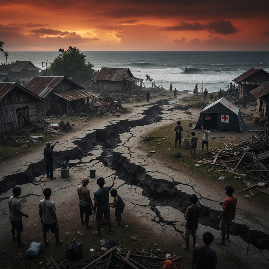
A 7.7-magnitude earthquake in eastern Indonesia has turned a violent rupture beneath the sea into a hard test of national disaster readiness. Live reports put the death toll at at least 38, a number that could rise as rescuers reach cut-off villages, damaged ports and island communities where the first hour after impact is often measured not in minutes, but in distance.
Indonesia knows earthquakes. It sits on the Pacific Ring of Fire, where tectonic plates grind, dive and fracture with little warning. But familiarity does not make response easy. In the east, the geography that makes communities distinct — scattered islands, mountainous interiors, narrow coastal roads and small airstrips — also makes emergency response brutally complicated. A strong quake is not one disaster. It is a chain reaction: collapsed homes, disrupted communications, frightened residents moving inland, hospitals shifting to triage mode, and officials trying to determine whether the next threat is an aftershock, a landslide or the sea itself.
The first test: finding the hardest-hit places
In a major earthquake, the clearest information often comes from the places least affected. The hardest-hit villages may be silent because power lines are down, mobile towers are damaged, roads are blocked or local officials are dealing with casualties before filing reports.
That gap is especially dangerous in eastern Indonesia. Many communities are linked by ferries, small boats or single roads running along the coast. If a jetty cracks, a slope collapses or a bridge fails, a settlement can become operationally remote even if it is not geographically far away. Rescue teams must then decide where to send scarce assets first: medical crews, search-and-rescue personnel, portable communications equipment, fuel, generators and clean water.
Concrete details matter. A district hospital may be standing but overwhelmed. A community health clinic may have lost its roof. A harbor may be usable only at high tide. A school field may become the safest landing zone for a helicopter, while a mosque courtyard becomes an improvised casualty collection point. Those facts determine whether help arrives in hours or days.
The most effective response now depends on rapid damage mapping: combining reports from village leaders, police posts, health workers, satellite imagery and aerial reconnaissance. In a scattered-island disaster, a national picture built too slowly can cost lives.
Communications are the lifeline after the shaking stops
The quake’s second test is communications. Indonesia has invested heavily in warning and response systems, including seismic monitoring and tsunami messaging through BMKG, the national meteorology, climatology and geophysics agency. But the critical question after any major tremor is not only whether warnings are issued — it is whether people can receive, trust and act on them when networks are unstable.
Mobile phones are often the first emergency tool, but they are fragile in a disaster. Towers lose power. Fiber links fail. Charging becomes difficult. Rumors spread faster than official updates. In coastal communities, uncertainty can be deadly: residents need to know whether to remain in evacuation areas, return home briefly for supplies, or move farther inland because of aftershock or tsunami concerns.
This is where redundancy matters. VHF radio, satellite phones, portable repeaters, community sirens, mosque loudspeakers and trained local volunteers can keep information moving when commercial networks stumble. The best disaster plans assume that WhatsApp groups and cell service may fail. They build backup channels before the earthquake, not after it.
For officials, messaging must also be disciplined. A single clear instruction — evacuate coastal zones, avoid damaged buildings, keep roads open for ambulances — is more useful than a stream of technical updates. People need certainty about actions, even when scientists are still refining the data.
Aftershocks can turn damaged buildings into death traps
The danger does not end with the first quake. Strong aftershocks can follow for days or weeks, and they hit communities at their most vulnerable: when walls are cracked, hillsides loosened, families are sleeping outside, and rescue teams are working inside unstable structures.
Aftershock planning is not a side issue. It is central to survival. Authorities need to cordon off unsafe buildings, inspect hospitals and schools, and prevent residents from rushing back into homes that may collapse in a second jolt. Search teams must balance speed with safety, especially in concrete structures, coastal settlements and older buildings not designed for severe shaking.
There is also a psychological challenge. People who have survived a violent quake often face a cruel choice: stay outside in rain, heat or darkness, or return to damaged houses for food, medicine, documents and clothing. That is why emergency logistics must move quickly beyond rescue into shelter. Tarpaulins, blankets, water containers, toilets, baby supplies and medicine are not secondary needs; they reduce the pressure on families to take dangerous risks.
In remote islands, even basic shelter delivery can become complex. Relief supplies may need to be staged at a regional port, transferred to smaller vessels, unloaded by hand if docks are damaged, then carried over blocked roads. A good plan identifies those bottlenecks before they become the reason aid stalls offshore.
The readiness gap is local, not just national
Indonesia’s national disaster apparatus has experience, but earthquakes are ultimately survived locally. The first rescuers are neighbors. The first evacuation decisions are made by families. The first damage reports come from village officials, teachers, nurses, fishers and shopkeepers.
That reality should shape preparedness. Communities need regular drills that do more than move people from point A to point B. They should practice night evacuations, communication failures, blocked routes and family reunification. Schools should know where students go if parents cannot arrive. Clinics should know how to operate without power. Village leaders should know who has boats, trucks, chainsaws, radios and medical training.
The same applies to building safety. In earthquake country, codes and enforcement are lifesaving infrastructure. A modest house built with better connections between roof, wall and foundation can mean the difference between repairable damage and collapse. A clinic that remains functional after shaking becomes a regional asset. A pier that can still receive boats becomes an emergency artery.
This quake will inevitably prompt questions about warning systems, response speed and public communication. Those questions are necessary. But the deeper measure of readiness is whether remote communities have the tools to survive the first 24 hours before outside help fully arrives.
Conclusion: the clock is still running
The reported death toll of at least 38 is already a tragedy. It is also an alarm. The next phase will reveal how quickly Indonesia can connect the dots across islands: locate survivors, restore communications, manage aftershock risk and move aid through damaged transport links.
For eastern Indonesia, disaster readiness is not an abstract policy goal. It is a race across water, mountains and broken signals — and every hour matters.